
Planet and Landscape Generation
I’m working out how tectonic plates, climate, and drainage can give a planet a coherent geography, from the view in orbit to the landscape underfoot.
View slideshow ↓Planet generation slideshow
19 slides. Select the image to open it at full size.
-
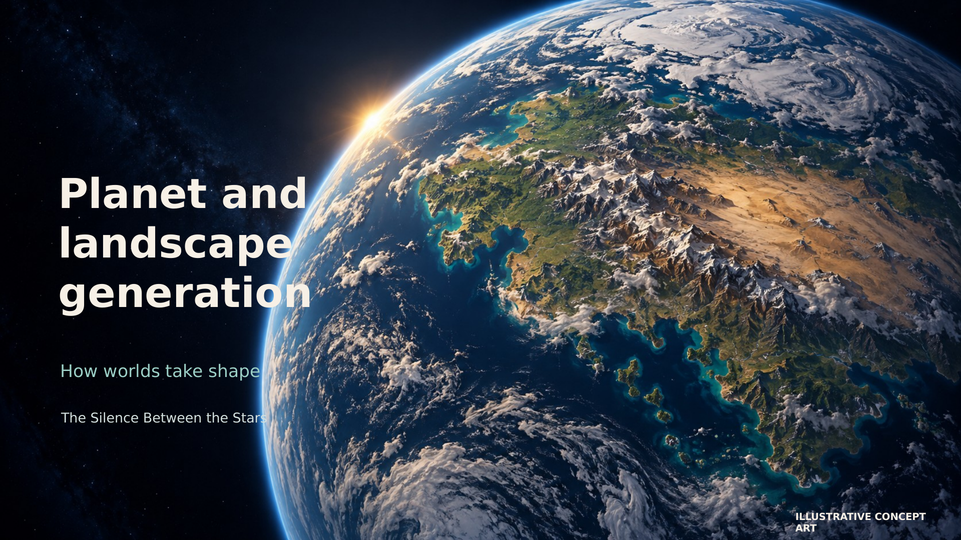
01 / 19 Planet and landscape generation Read slide text
How worlds take shape
The Silence Between the Stars
ILLUSTRATIVE CONCEPT ART
-
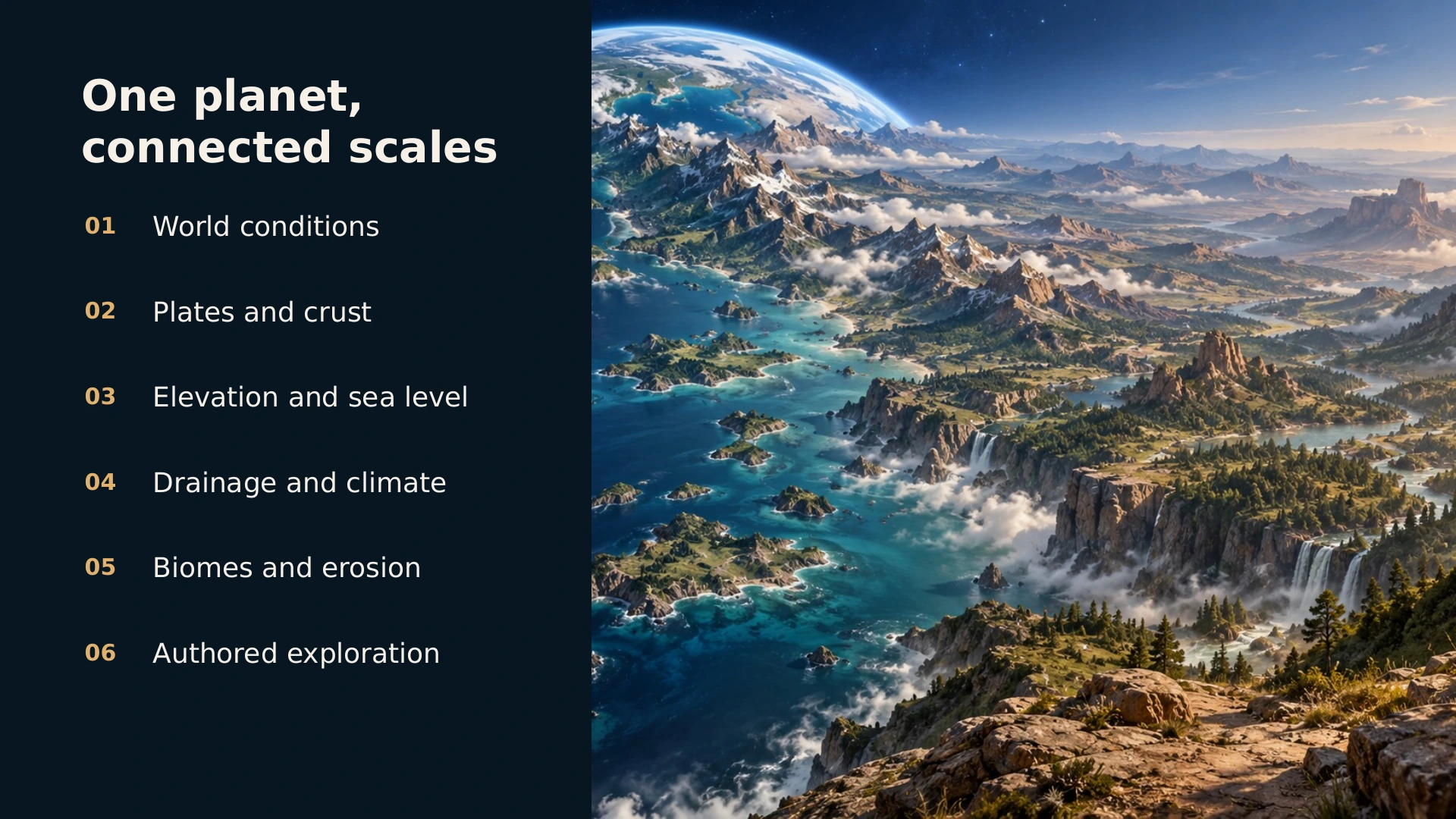
02 / 19 One planet, connected scales Read slide text
01
World conditions
02
Plates and crust
03
Elevation and sea level
04
Drainage and climate
05
Biomes and erosion
06
Authored exploration
-
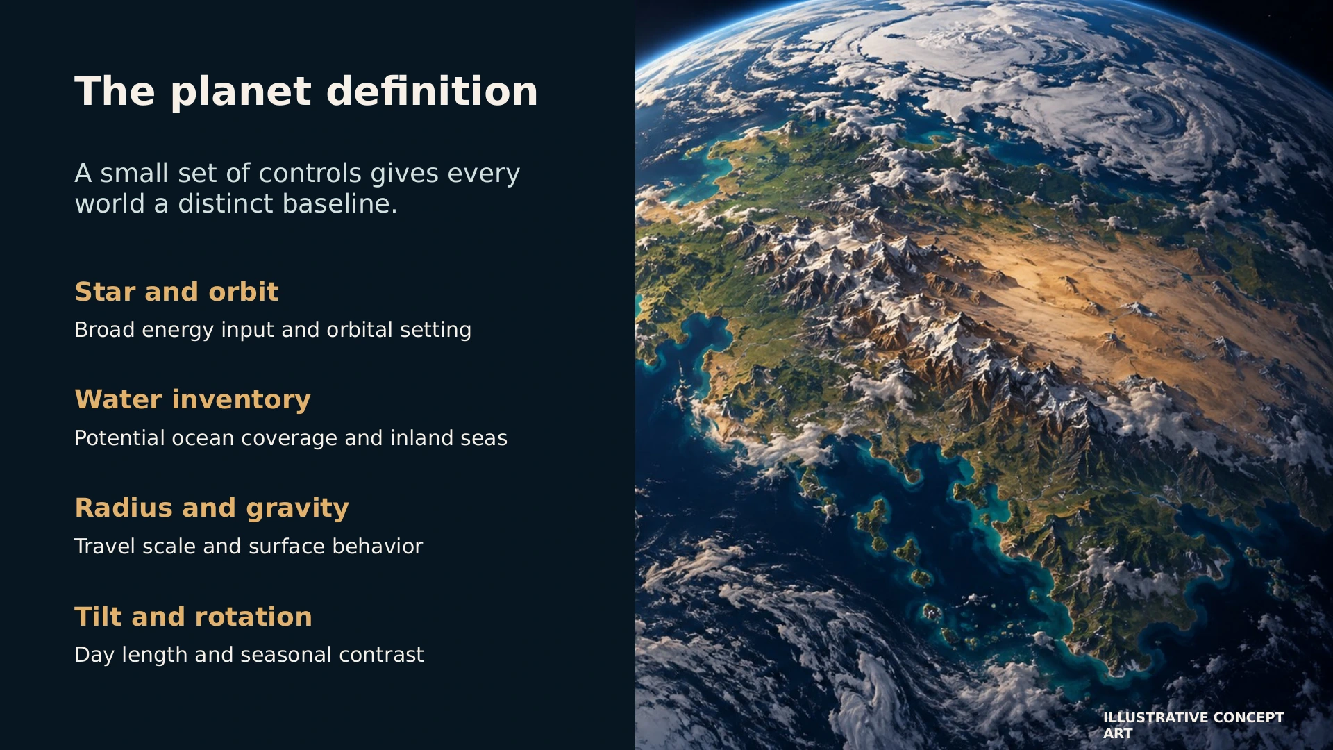
03 / 19 The planet definition Read slide text
A small set of controls gives every world a distinct baseline.
Star and orbit
Broad energy input and orbital setting
Water inventory
Potential ocean coverage and inland seas
Radius and gravity
Travel scale and surface behavior
Tilt and rotation
Day length and seasonal contrast
ILLUSTRATIVE CONCEPT ART
-
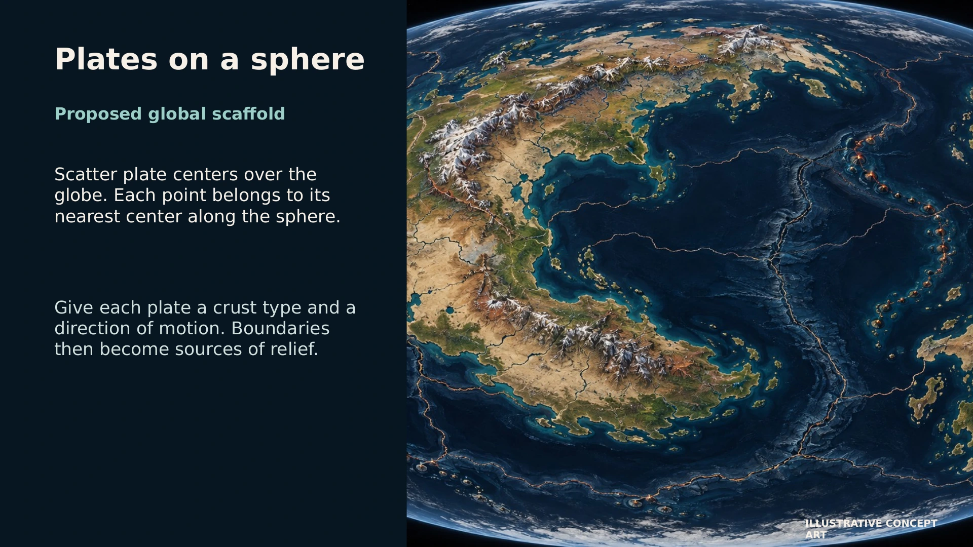
04 / 19 Plates on a sphere Read slide text
Proposed global scaffold
Scatter plate centers over the globe. Each point belongs to its nearest center along the sphere.
Give each plate a crust type and a direction of motion. Boundaries then become sources of relief.
ILLUSTRATIVE CONCEPT ART
-
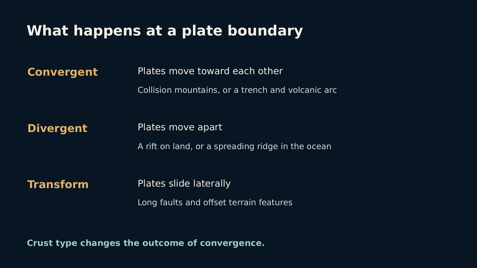
05 / 19 What happens at a plate boundary Read slide text
Convergent
Plates move toward each other
Collision mountains, or a trench and volcanic arc
Divergent
Plates move apart
A rift on land, or a spreading ridge in the ocean
Transform
Plates slide laterally
Long faults and offset terrain features
Crust type changes the outcome of convergence.
-
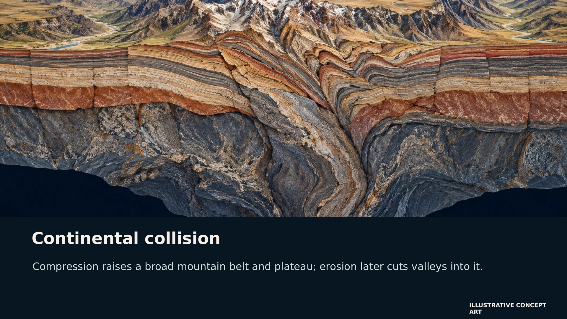
06 / 19 Continental collision Read slide text
Compression raises a broad mountain belt and plateau; erosion later cuts valleys into it.
ILLUSTRATIVE CONCEPT ART
-
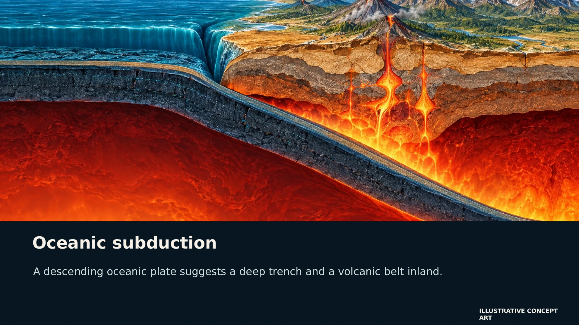
07 / 19 Oceanic subduction Read slide text
A descending oceanic plate suggests a deep trench and a volcanic belt inland.
ILLUSTRATIVE CONCEPT ART
-
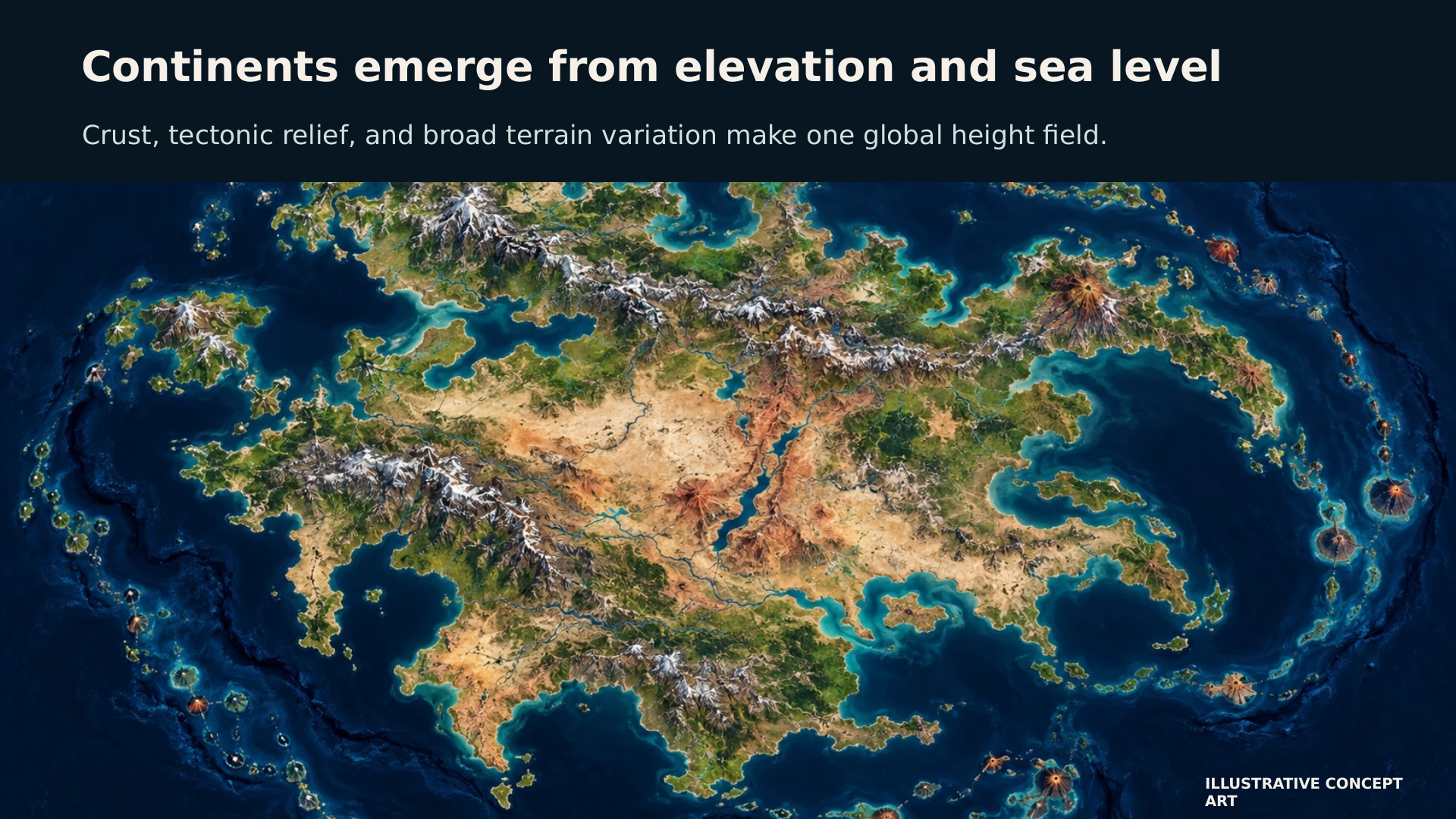
08 / 19 Continents emerge from elevation and sea level Read slide text
Crust, tectonic relief, and broad terrain variation make one global height field.
ILLUSTRATIVE CONCEPT ART
-
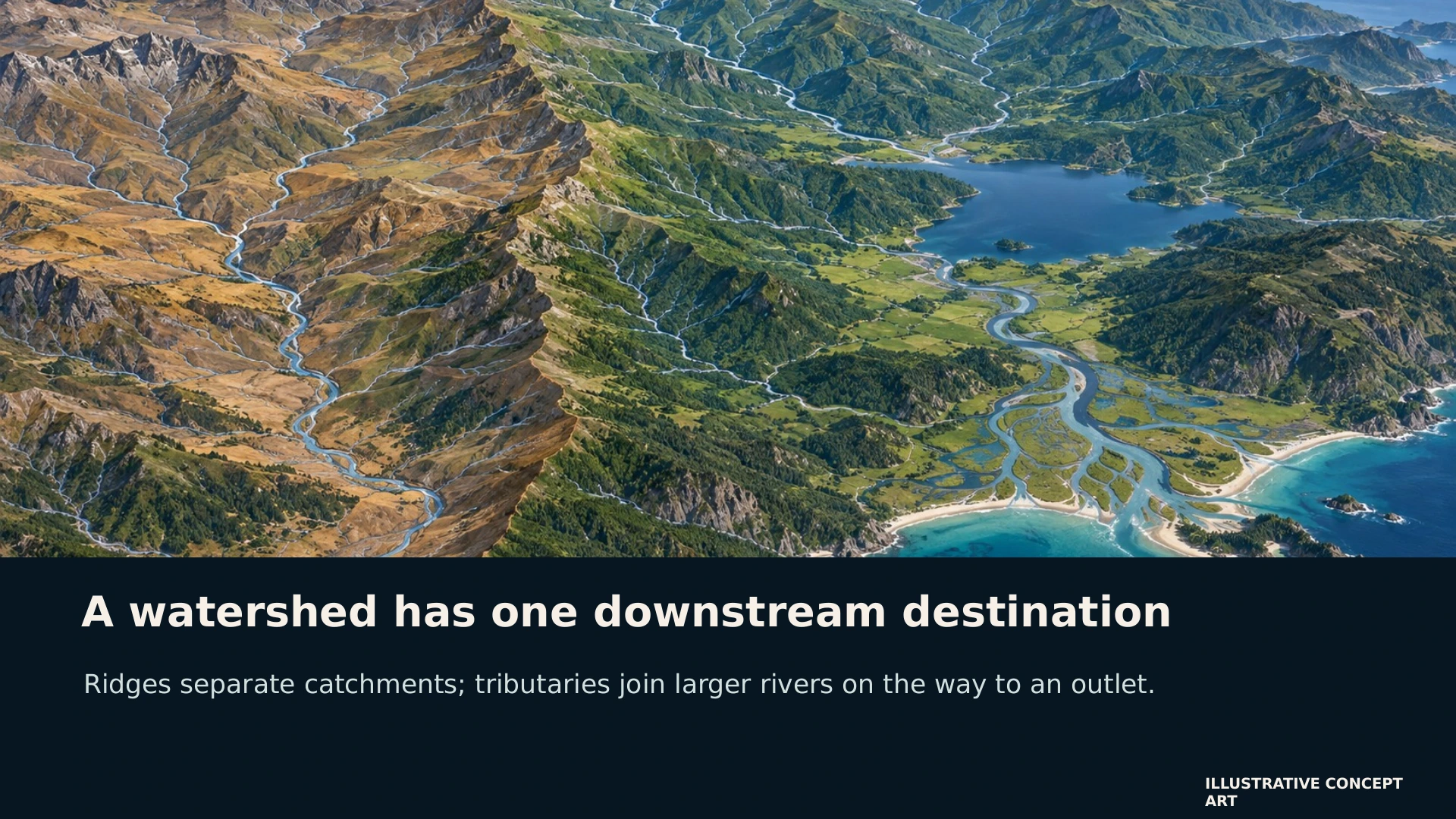
09 / 19 A watershed has one downstream destination Read slide text
Ridges separate catchments; tributaries join larger rivers on the way to an outlet.
ILLUSTRATIVE CONCEPT ART
-
10 / 19 The drainage model keeps the river network intact Read slide text
Global
Major outlets, continental divides, and trunk rivers
Regional
Sub-basins, lakes, tributaries, and floodplains
Local
Creeks, gullies, wetlands, and channel detail
Each child basin inherits a route toward its parent outlet.
-
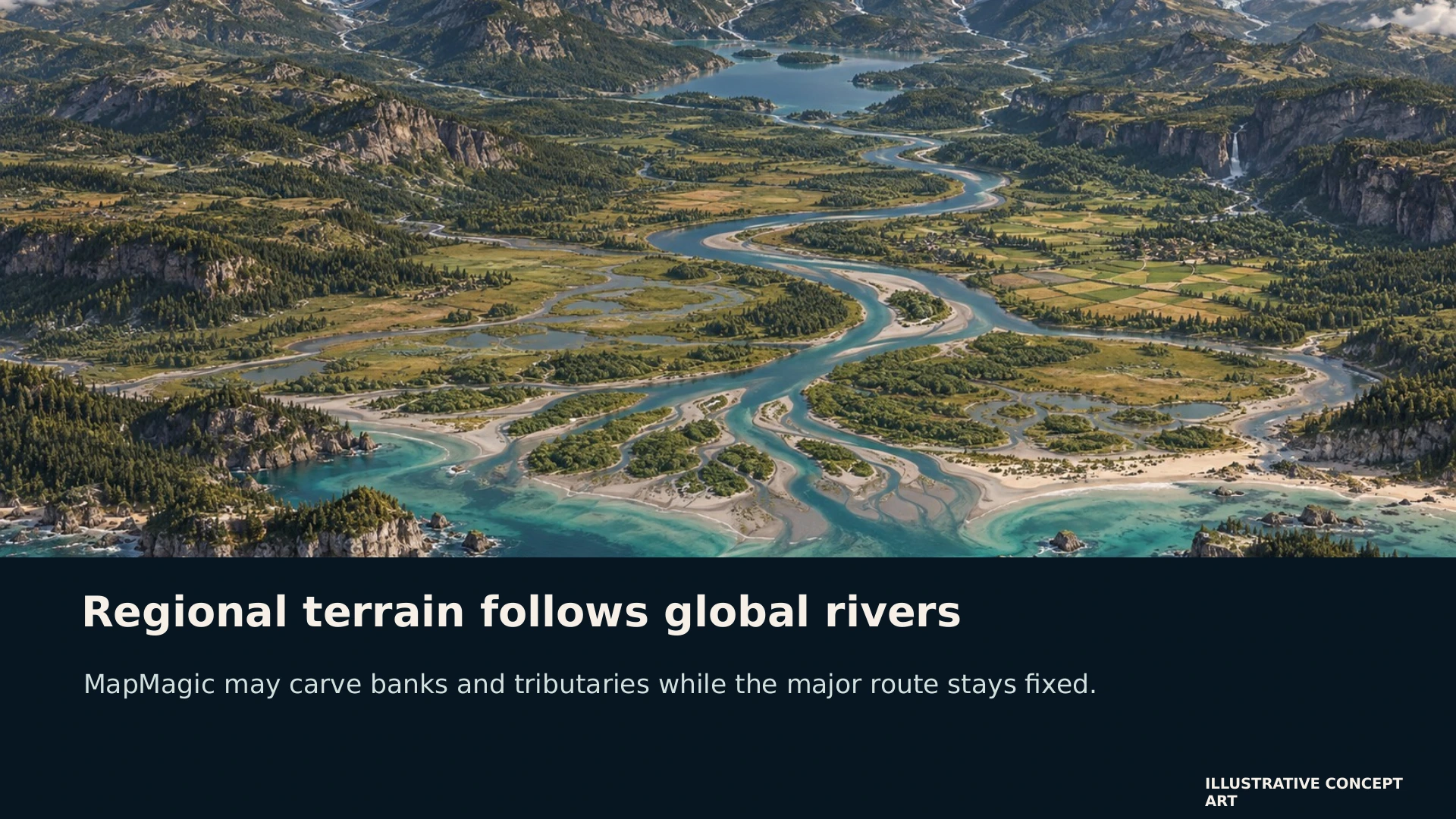
11 / 19 Regional terrain follows global rivers Read slide text
MapMagic may carve banks and tributaries while the major route stays fixed.
ILLUSTRATIVE CONCEPT ART
-
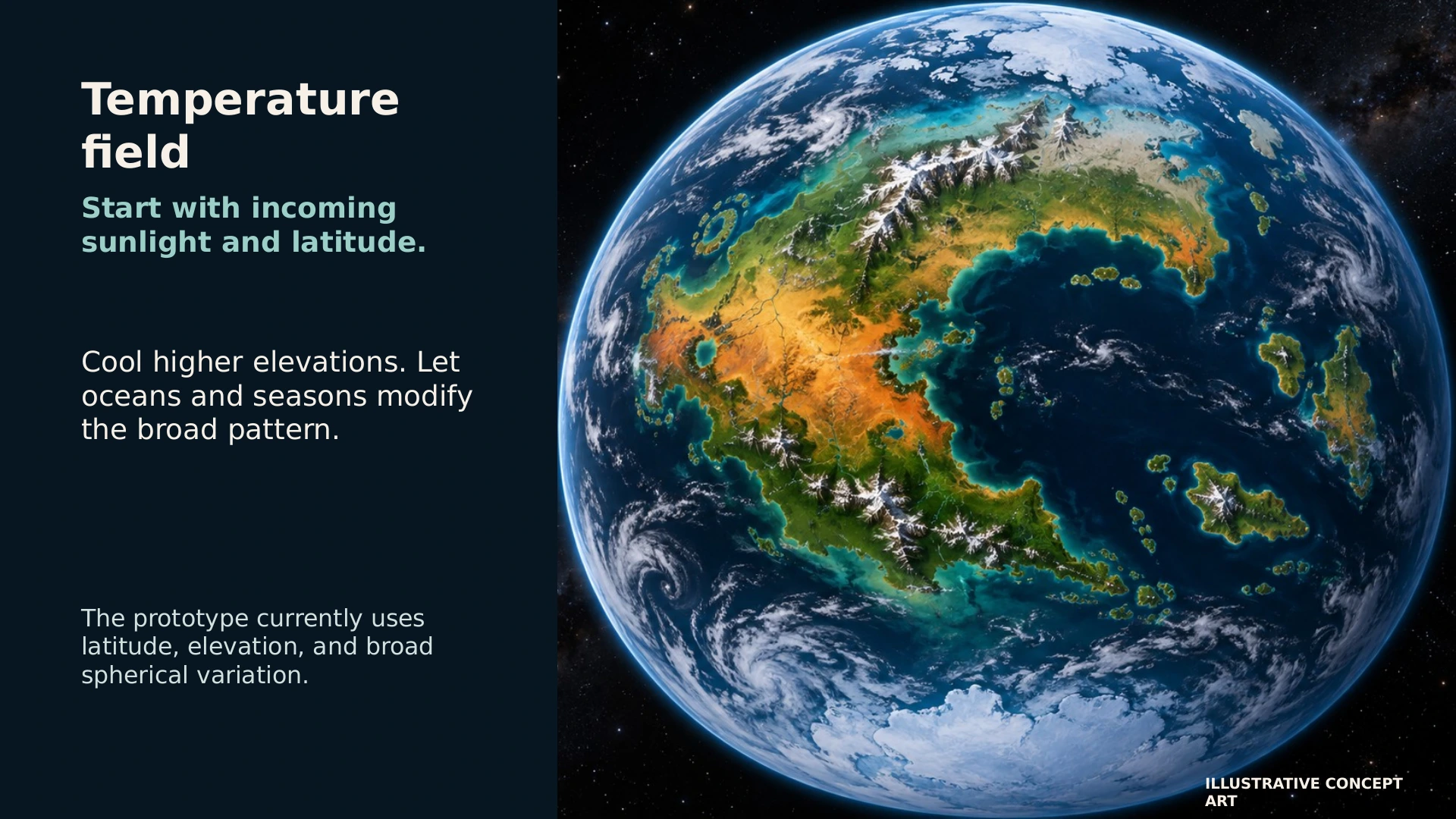
12 / 19 Temperature field Read slide text
Start with incoming sunlight and latitude.
Cool higher elevations. Let oceans and seasons modify the broad pattern.
The prototype currently uses latitude, elevation, and broad spherical variation.
ILLUSTRATIVE CONCEPT ART
-
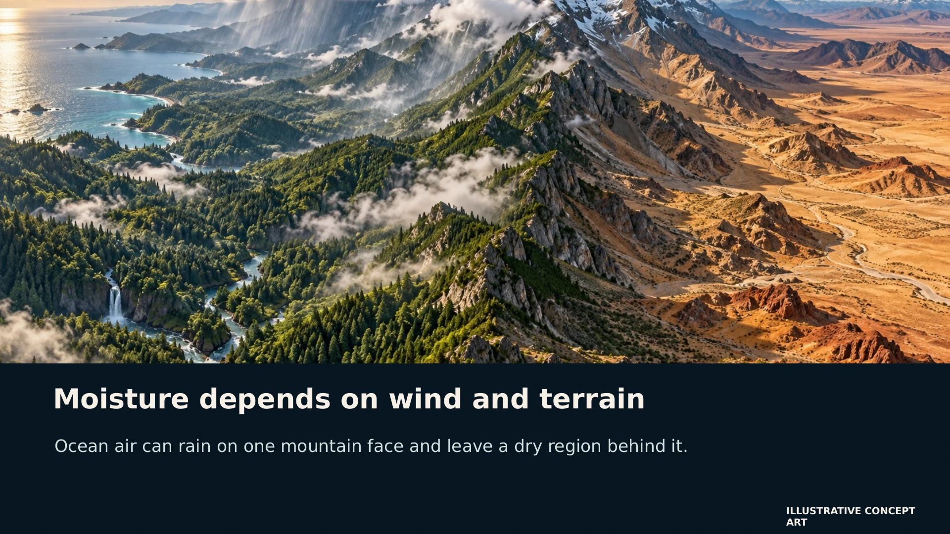
13 / 19 Moisture depends on wind and terrain Read slide text
Ocean air can rain on one mountain face and leave a dry region behind it.
ILLUSTRATIVE CONCEPT ART
-
14 / 19 Climate and drainage influence each other Read slide text
Terrain
Elevation and mountain barriers shape rain
Rainfall
Water supply changes river volume and lake persistence
Channels
Floodplains and groundwater alter local wetness
Ecology
Soil, slope, and water help place living things
-
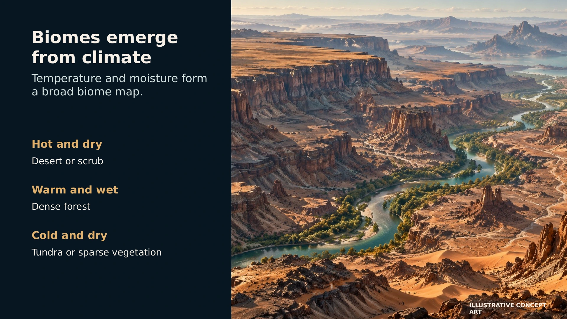
15 / 19 Biomes emerge from climate Read slide text
Temperature and moisture form a broad biome map.
Hot and dry
Desert or scrub
Warm and wet
Dense forest
Cold and dry
Tundra or sparse vegetation
ILLUSTRATIVE CONCEPT ART
-
16 / 19 MapMagic refines the ground Read slide text
Height and erosion
Gullies, ridges, sediment, and valley shapes
Surface material
Soil, rock, sand, snow, and exposed cliffs
Placement
Vegetation and small features follow conditions
Global constraints remain visible in every local patch.
-
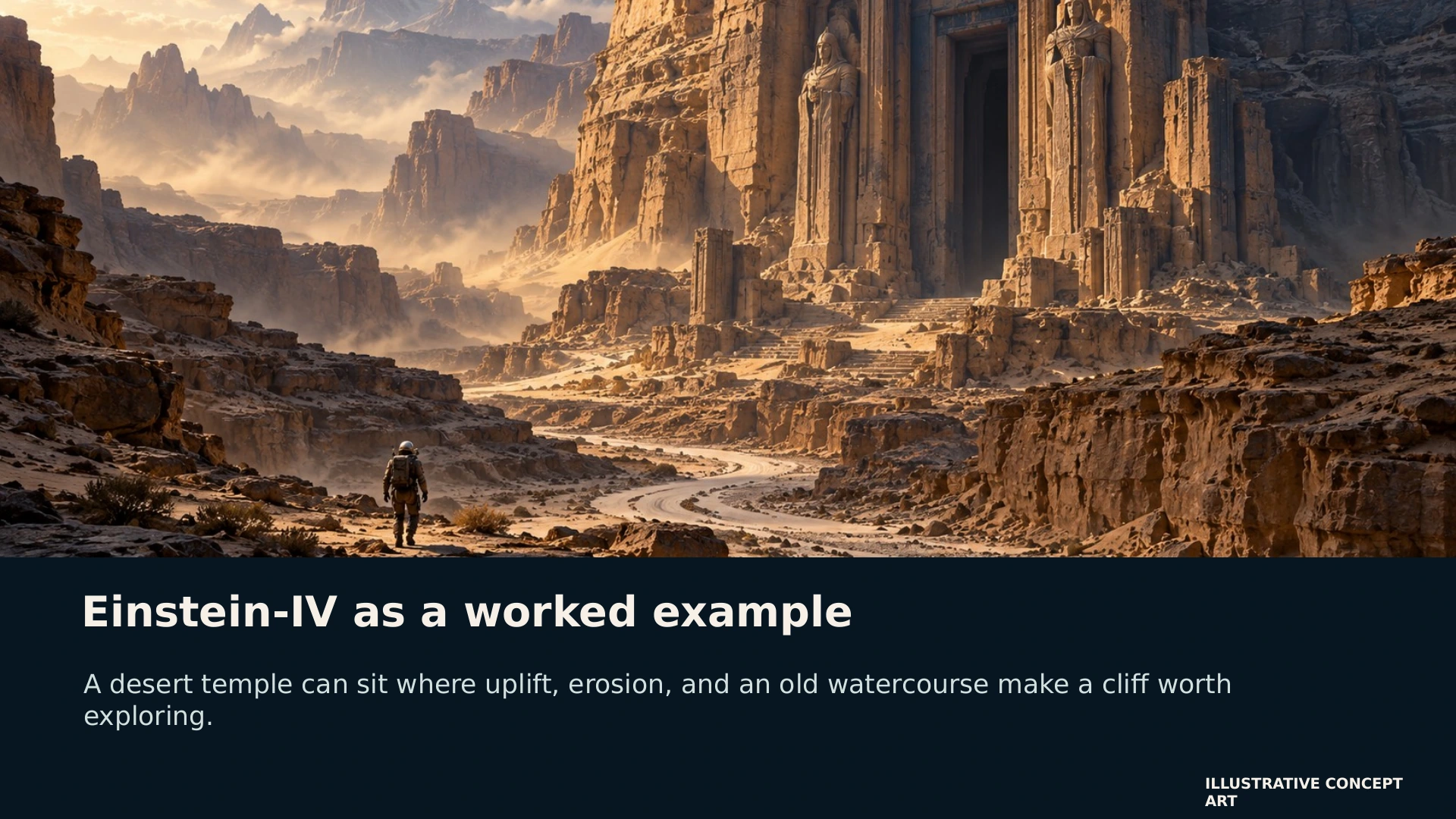
17 / 19 Einstein-IV as a worked example Read slide text
A desert temple can sit where uplift, erosion, and an old watercourse make a cliff worth exploring.
ILLUSTRATIVE CONCEPT ART
-
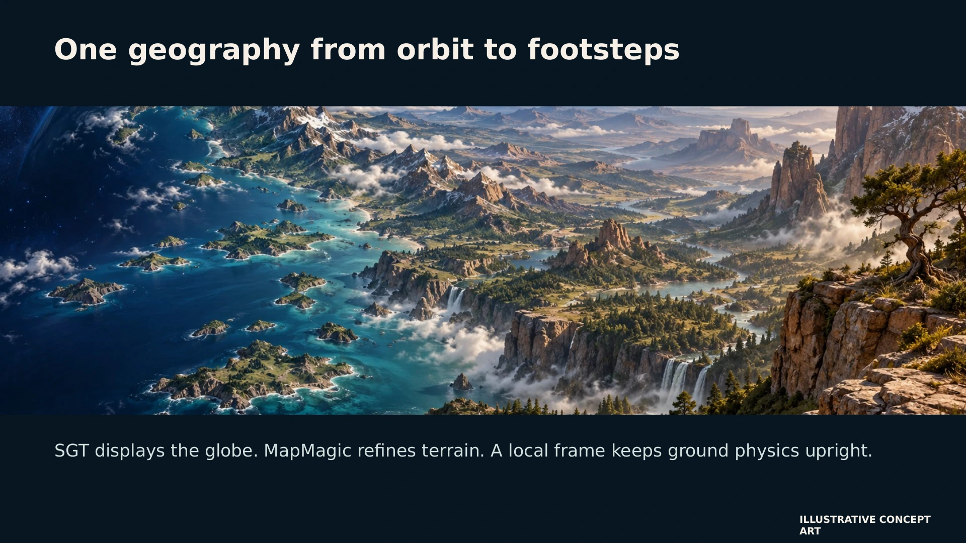
18 / 19 One geography from orbit to footsteps Read slide text
SGT displays the globe. MapMagic refines terrain. A local frame keeps ground physics upright.
ILLUSTRATIVE CONCEPT ART
-
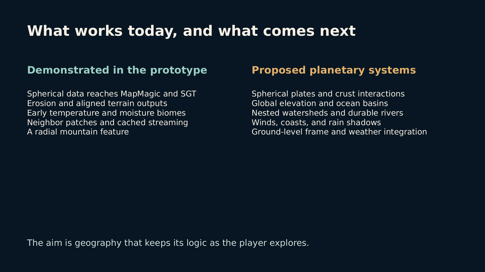
19 / 19 What works today, and what comes next Read slide text
Demonstrated in the prototype
Spherical data reaches MapMagic and SGT
Erosion and aligned terrain outputs
Early temperature and moisture biomes
Neighbor patches and cached streaming
A radial mountain feature
Proposed planetary systems
Spherical plates and crust interactions
Global elevation and ocean basins
Nested watersheds and durable rivers
Winds, coasts, and rain shadows
Ground-level frame and weather integration
The aim is geography that keeps its logic as the player explores.